+593 99 128 3079
 Toll free: +1 866 987 0876


10 Cotopaxi Facts: From Glacier Ice to the 1877 Eruption
How tall Cotopaxi really is, why its 1877 eruption sent mudflows all the way to the Pacific, how much glacier ice it has lost, and what the 2024 climbing rules mean for your visit, from the team that watches it from Quito every morning.
 Rebecca Braak | Updated: November 5, 2026 | Time to read: 9 min

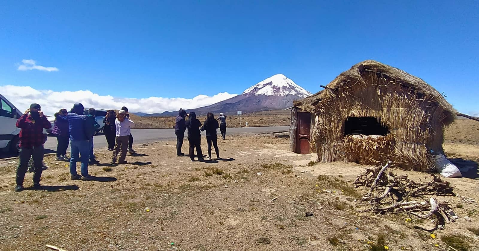
On a clear morning in Quito, look south, and you will see it: a snow-capped cone about 31 miles (50 km) away, sitting above the valley so neatly it looks drawn on. That is the Cotopaxi volcano, 19,347 feet (5,897 m) tall and one of the highest active volcanoes on Earth. Our team in Quito has watched it steam, rest, and wake up again, and these are the 10 Cotopaxi volcano facts we share with every traveler before they drive into its national park.
Table of Contents
1. The Cotopaxi Volcano Is Ecuador’s Second-Highest Peak
At 19,347 feet (5,897 m), the Cotopaxi volcano stands second only to Chimborazo, which tops out at 20,548 feet (6,263 m). Chimborazo is extinct, though, while Cotopaxi is very much alive, which puts it among the highest active volcanoes in the world.
Kichwa-speaking communities in the highlands commonly translate the name as “neck of the moon,” a reference to the crescent shape of the crater. Ask a local guide about it at Limpiopungo, and you will usually get a second version and a third, which is part of the fun.

2. How Far Is the Cotopaxi Volcano From Quito?
The Cotopaxi volcano sits about 31 miles (50 km) south of Quito, and the drive to the park takes around 1.5 to 2 hours. The route follows the Pan-American Highway south past Machachi, then turns east onto a dirt road that climbs into the park.
That short distance makes Cotopaxi an easy day trip from Quito. Quito itself sits at 9,350 feet (2,850 m), so two days in the capital before heading up is the simplest way to let your body adjust to the altitude.
3. It Anchors Humboldt’s Avenue of the Volcanoes
When Alexander von Humboldt traveled through Ecuador in 1802, he named the long valley between the eastern and western Andean ranges the Avenue of the Volcanoes. He also tried to climb Cotopaxi, turning back at roughly 14,760 feet (4,500 m).
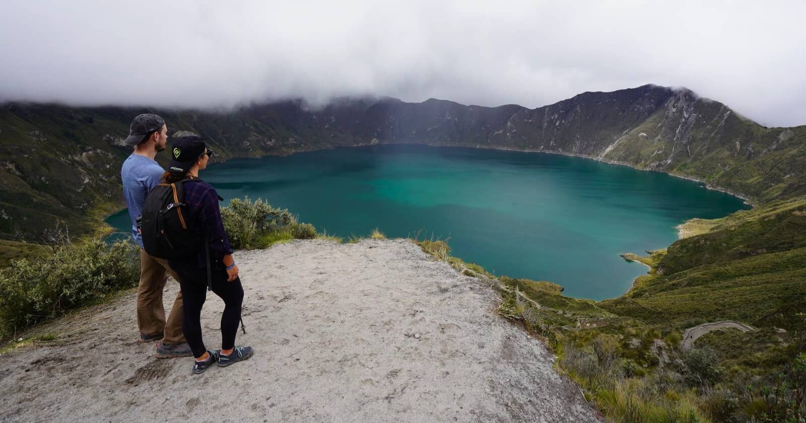
The avenue runs informally from Imbabura in the north to Chimborazo in the south, with Cotopaxi near its center. Inside the park, you also see Rumiñahui, a long-extinct volcano with a jagged crest, and Sincholagua to the southeast. Many travelers pair Cotopaxi with the turquoise crater lake at Quilotoa, about three hours further south along the same avenue.
4. Cotopaxi Is a Classic Stratovolcano
The symmetry of the Cotopaxi volcano is not luck. It is a stratovolcano, built from alternating layers of lava, ash, and pumice laid down eruption after eruption. Records list around 87 known eruptions since 1534, according to the “Global Volcanism Program” and historical accounts compiled since the Spanish arrival.
Each eruption added another layer and smoothed the slopes, which is why Cotopaxi looks like the volcano a child would draw. Its neighbor Rumiñahui shows the opposite story: thousands of years of erosion have worn its old cone into broken ridges.

5. The 1877 Eruption Sent Mudflows to the Pacific
On June 26, 1877, pyroclastic flows melted the entire ice cap of the Cotopaxi volcano in minutes. The meltwater mixed with ash and rock to form lahars, mudflows that traveled more than 62 miles (100 km) and reached both the Pacific Ocean and the western Amazon basin. The town of Latacunga, to the south, was buried under mud for the second time in its history.
That history is the reason the “Instituto Geofísico” at Quito’s Escuela Politécnica Nacional monitors Cotopaxi around the clock with seismic stations, gas sensors, and cameras.
Start Planning Your Ecuador Adventure
Our expert travel designers craft personalized experiences in Ecuador, connecting you with local culture, nature, and meaningful moments, all handled with care.
6. Is the Cotopaxi Volcano Still Active?
Yes, the Cotopaxi volcano is active. On August 14, 2015, two steam-driven explosions sent ash as far as Quito and closed the park for months. A new eruptive phase began on October 21, 2022, bringing ash and gas emissions and around 8,000 recorded earthquakes by February 2023, before winding down in mid-2023.
As of mid-2026, the Instituto Geofísico rates its activity as low. Our operations team checks the official bulletins before every departure, and we always recommend travelers do the same the week of their trip.
7. Its Glacier Has Lost More Than Half Its Ice
Cotopaxi’s glacier begins at about 16,400 feet (5,000 m) and is one of the few equatorial glaciers left on the planet. Its surface shrank from roughly 8.4 square miles (21.8 km²) in 1976 to about 4.5 square miles (11.6 km²) by 2015. Bolívar Cáceres, a glacier specialist at Ecuador’s national weather institute, INAMHI, puts the total loss at 52.8%.
Recent eruptions have added to the pressure. Dark ash settles on the ice, absorbs more heat, and speeds up melting, which is why photos from 2023 show a summit streaked with gray rather than the white cone on old postcards.

8. Cotopaxi National Park Protects a High-Altitude Páramo
Cotopaxi National Park was created on August 11, 1975, and protects 82,520 acres (33,393 ha) of páramo, the high Andean grassland that stores rainwater and releases it slowly into the rivers below. Entry is free.
At Limpiopungo Lagoon, around 12,470 feet (3,800 m), researchers have counted 24 species of water and wading birds, 15 of them migratory. Look for Andean gulls, Andean coots, and the curiquingue (carunculated caracara), plus Andean condors, Ecuador’s national bird, gliding over the ridges. Naturalist guides from the nearby villages of Pastocalle, Romerillos, Chaupi, and Chasqui work with park rangers to look after the lagoon, and visits with these guides keep tourism income in the communities that live beside the Cotopaxi volcano.
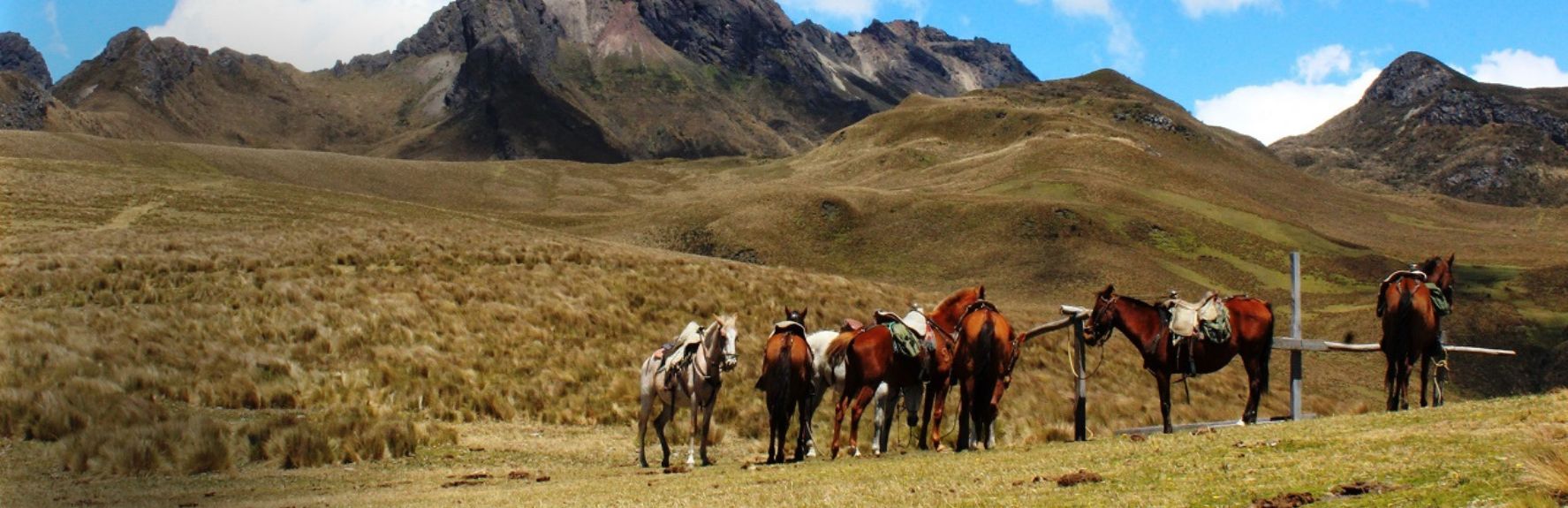
That is the same idea behind Huella Positiva, our regenerative tourism model. When we take travelers riding through the páramo, we ride with local chagras, the highland horsemen whose families have worked these valleys for generations.
9. Can You Climb Cotopaxi Today?
Yes, you can climb Cotopaxi, but the rules tightened when the summit reopened on February 21, 2024. Climbers now need a registered tour operator or club, a booked slot, a night at the José Ribas Refuge at 15,960 feet (4,864 m), Instituto Geofísico safety training, a gas mask, and a specialized mountaineering guide.
Summit pushes start around midnight and gain about 3,380 feet (1,030 m) on glacier ice to reach the crater rim by sunrise. The first recorded ascent came on November 28, 1872, by German geologist Wilhelm Reiss and his Colombian partner Ángel Escobar. Most climbers today acclimatize first on Rumiñahui or Iliniza Norte.

10. The Best Views of Cotopaxi Come Without Crampons
You do not need to summit the Cotopaxi volcano to feel the scale of this mountain. Horseback rides through the El Pedregal valley on the north side bring you face to face with the glacier without the altitude of the refuge. Downhill biking from the parking area at about 15,090 feet (4,600 m) to Limpiopungo is one of the most popular half days in the Andes. Some of the best mornings start at the colonial haciendas around the park, where the volcano fills the window at breakfast.
Pack warm layers, whatever you plan. The park averages around 45°F (7°C); mornings are usually clearest, and clouds tend to wrap the summit by early afternoon.
If the clouds lift on your first morning in Quito, step outside and look south. The Cotopaxi volcano will be there, and so will the question nearly every traveler ends up asking us: how close can I get?}
Explore Cotopaxi With Our Local Team
Cotopaxi is at its best when you see it with the people who live beside it. Rebecca Adventure Travel designs private journeys that pair the volcano with chagra culture, highland haciendas, and the rest of the Avenue of the Volcanoes, with local guides at every step.
 2 Days
 Ecuador


Frequently Asked Questions
How tall is the Cotopaxi volcano?
The Cotopaxi volcano is 19,347 feet (5,897 m) tall. It is Ecuador’s second-highest peak after Chimborazo and one of the highest active volcanoes in the world.
Is the Cotopaxi volcano safe to visit right now?
As of mid-2026, the Instituto Geofísico rates Cotopaxi’s activity as low, and the national park is open, with free entry. Check the official bulletin the week you travel; our team checks it before every departure.
Can beginners climb Cotopaxi?
Fit beginners can, with preparation. You need several days of acclimatization, a specialized mountaineering guide (ASEGUIM), a registered operator, safety training, and a gas mask. Most climbers warm up on Rumiñahui or Iliniza Norte first.
How do you get to Cotopaxi National Park from Quito?
The park is about 31 miles (50 km) south of Quito, roughly 1.5 to 2 hours by private transfer along the Pan-American Highway. Leave early, since mornings usually bring the clearest views of the summit.
When did Cotopaxi last erupt?
Cotopaxi’s latest eruptive phase ran from October 2022 to mid-2023, with ash and gas emissions. Before that, it erupted in August 2015. Its last large, destructive eruption was in June 1877.
Ready to Plan Your Ecuador Journey?
Whatever you seek from your journey through Ecuador, our expert travel designers create experiences that connect you with people, nature, and purpose, with every detail handled with care.
Related Posts